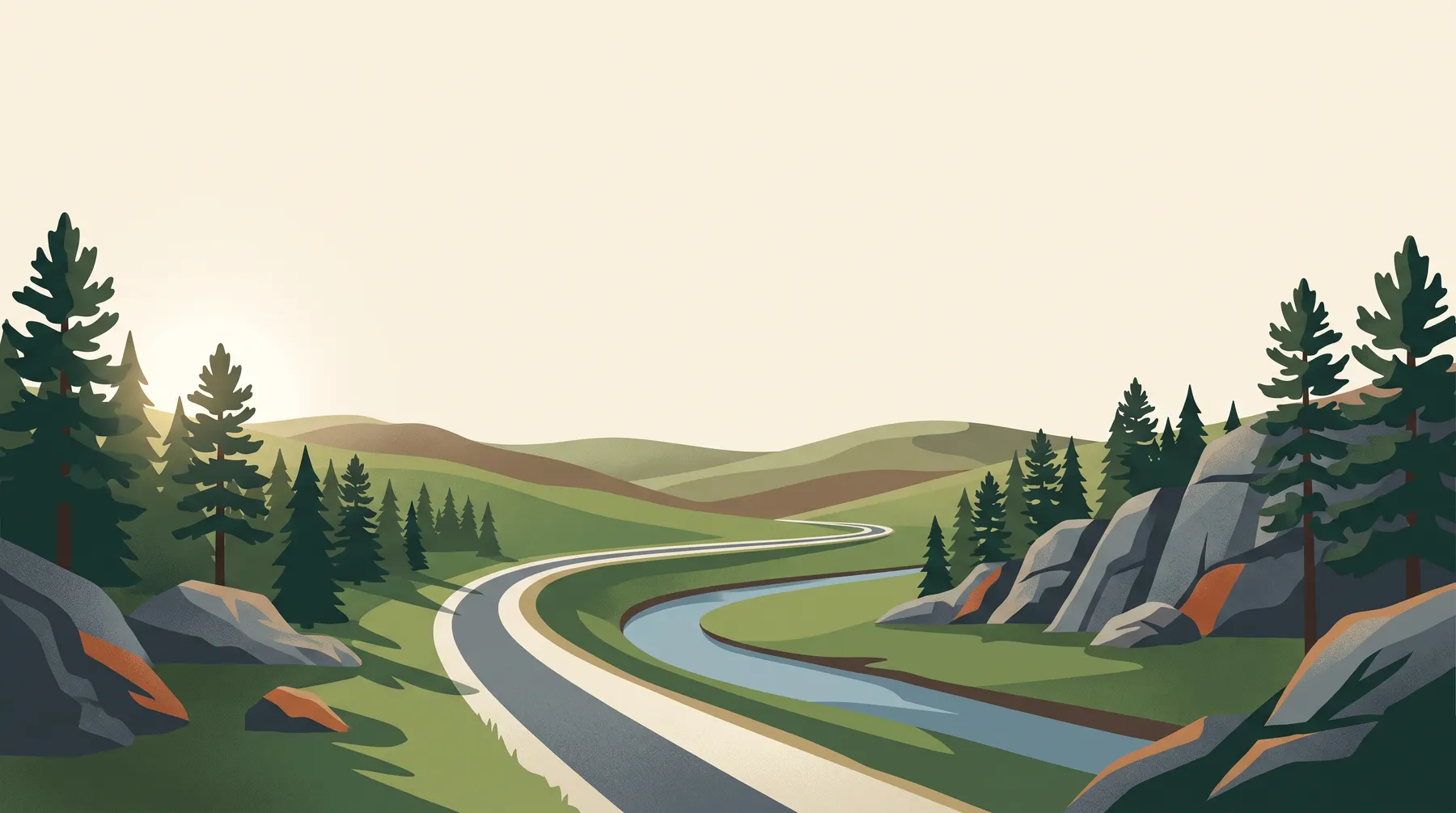
Mickelson Trail from Deadwood
An abandoned rail bed running south through the Black Hills, followed here from its north end out into open country.
Deadwood holds the north end of the trail, at the old railroad depot. The state counts the route at 109 miles down to Edgemont, and the mileposts run the other way, so Deadwood sits near the top of the count and the numbers fall as you ride south. Trains needed shallow grades, so the climbing is spread thin. Underfoot it is crushed stone.
-
Deadwood trailhead · MP 108.8
Out of town
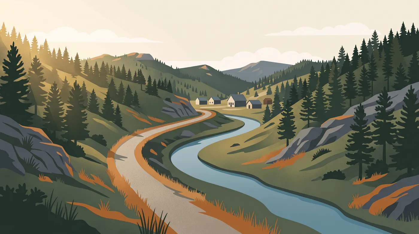
The grade begins at the old depot and leaves town through a narrow gulch, rock close on one side and water on the other. You are climbing for a while, gently, because the line was built for loaded freight rather than for legs. Most visitors see only this part, because it is the piece you can reach on foot.
-
Englewood trailhead · MP 98.5
Forest and bridges
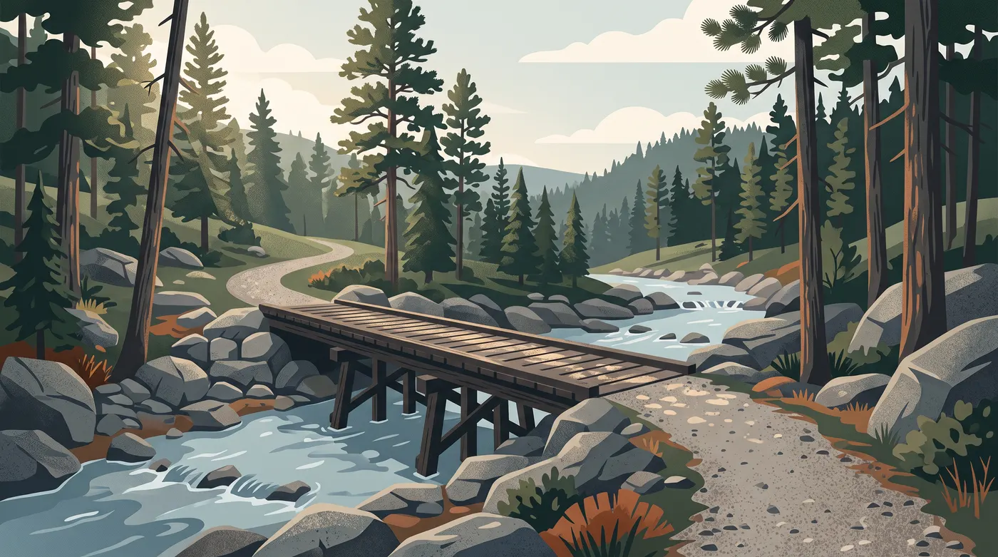
Pine takes over and stays. Converted railway bridges cross the water, some of them still timber-decked, and granite pushes up through the trees on both sides.
-
Rochford trailhead · MP 82.6
Longer gaps
The spacing changes here. Near Deadwood the trailheads come every few miles; by this part of the route the gaps run to ten. Water and food are worth sorting at each one rather than riding past.
-
Edgemont trailhead · MP 0
Out into the grass
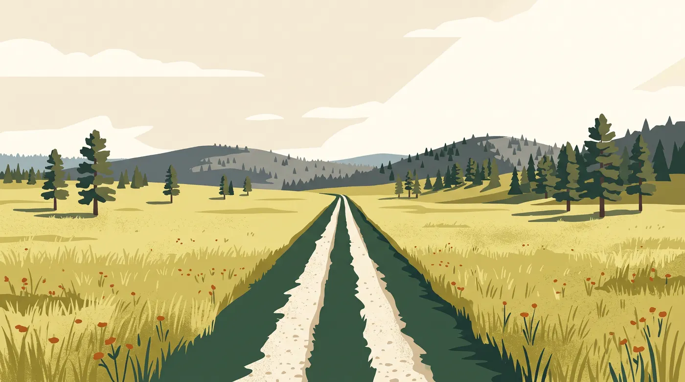
The far end of the count. The trees thin and then stop. Long views, no shade, and a wind that decides how hard the day turns out to be.
Before you ride
A road bike takes the rail bed badly. Tires of roughly 35 mm and wider roll over the crushed stone without trouble, which is why most people here are on a gravel or mountain bike. Walking and running work on any stretch.
Shade comes and goes. Forested stretches stay cool well into the afternoon; open ones give you nothing, so carry more water than the distance suggests. Trailheads have parking and vault toilets, though not all of them have drinking water.
Check the current trail pass rules before you set out. South Dakota Game, Fish and Parks manages the trail and publishes the current fees and closures, along with what each trailhead has, on its George S. Mickelson Trail page.
This is a small independent guide, written and paid for by one person who rides here. It takes no bookings and sells nothing, and it has no connection to the resort, to the state parks system or to any outfitter named on these pages. Where a number matters, such as a fee or an opening time, it points you at the official source instead of printing a figure that will be wrong in a year.