The three stretches
Splitting the trail into north, middle and south is a rider’s habit rather than an official division. It holds up because the terrain really does change three times between Deadwood and the far end.
North
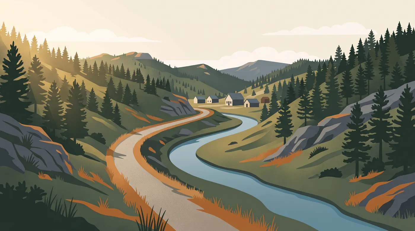
This is the stretch most visitors see, because it starts in town. The trail follows a tight gulch with rock walls close on one side and water on the other. Cell signal comes and goes.
- Effort
- Steady climbing southbound. It never gets steep, though it rarely lets up either.
- Surface
- Crushed stone, packed hard by traffic near town and looser further out.
- Best in
- Late spring through autumn. Shaded for much of the day, which helps in July.
Middle
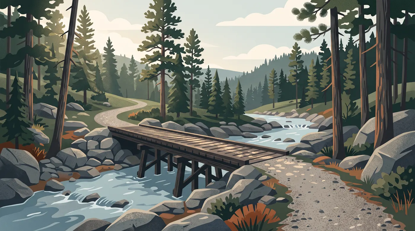
Forest takes over here. The trail crosses converted railway bridges, some of them timber, and granite pushes up through the trees on both sides. Of the three stretches this one holds its temperature best on a hot afternoon.
- Effort
- Rolling. Short climbs between long flat runs.
- Surface
- Crushed stone throughout, with timber decking on the bridges that turns slick when wet.
- Best in
- Summer for the shade, late September for the colour along the creeks.
South
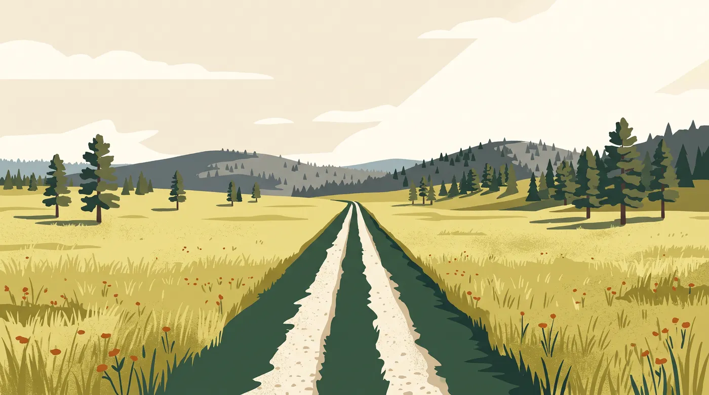
The forest thins and then stops. Out here the trail runs straight across open grass with hills sitting back at a distance, and the wind matters more than the gradient. Bring sun cover; there is nothing to hide under for long stretches.
- Effort
- Easy on paper. A headwind changes that quickly.
- Surface
- Crushed stone, dustier than the north in a dry spell.
- Best in
- Early morning in summer, or any clear day in autumn.
Riding one way
Plenty of people ride the trail in one direction and arrange a lift back. The grade is kinder northbound, so a drop-off at the southern end of your chosen stretch gives you an easier day. Outfitters in the area run shuttles in season. Confirm the route and the pick-up point by phone before you commit to a long one-way ride.
Distances between trailheads and the total length of the trail are published by the state. Those are the figures to plan with, so take them from the official trail page rather than from any guide, this one included.